Mapping
Resource Mapping
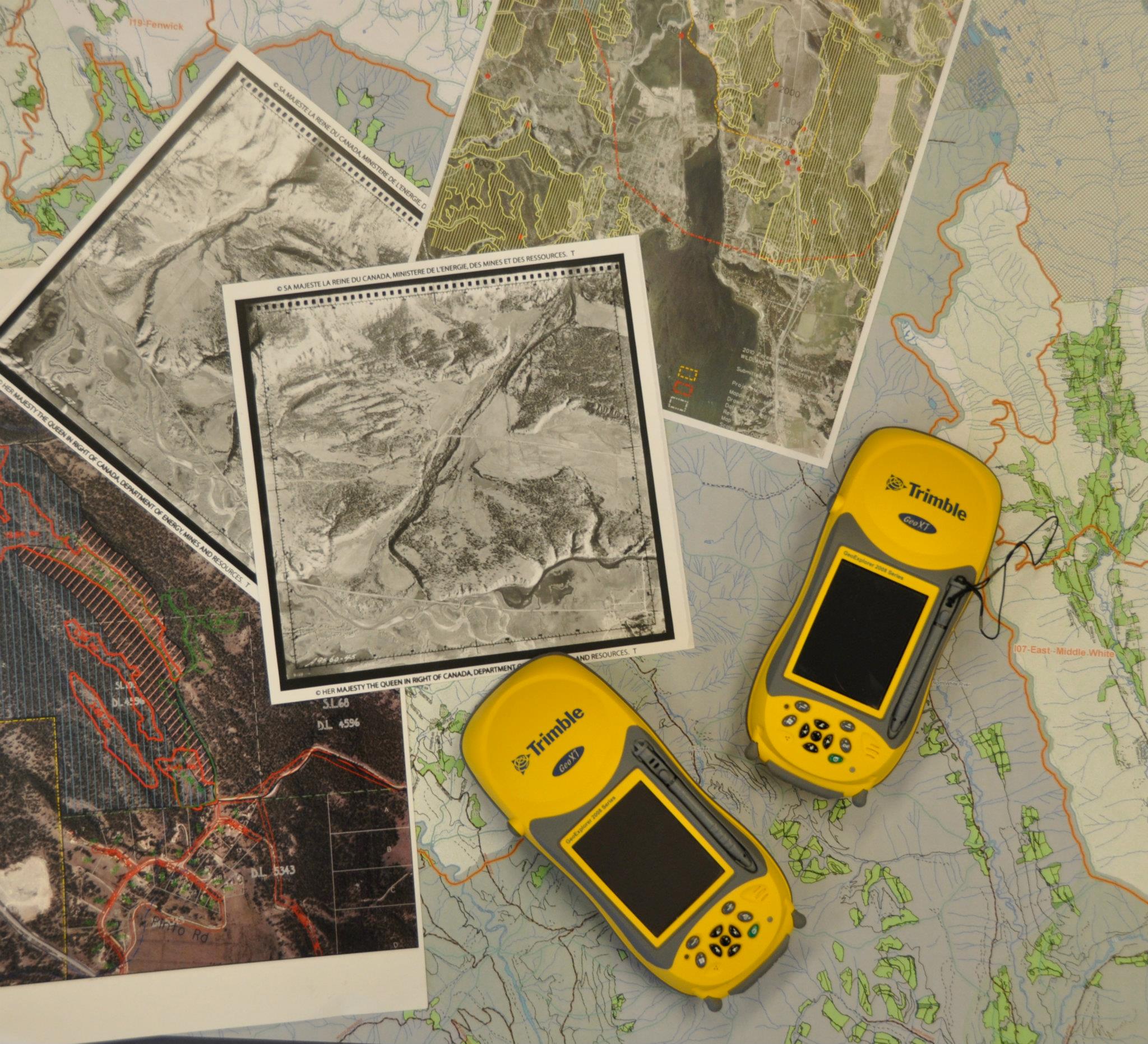
GPS/GIS Services
We provide full mapping services including in the field GPS data capture and spatial mapping applying current standards in the resource industry.
Spatial Data Submissions
Geodatabase standards for communities participating in the Strategic Wildfire Protection Initiative and federal/provincial organizations
Plotting & Printing
Map plotting capabilities up to 44″ width full colour